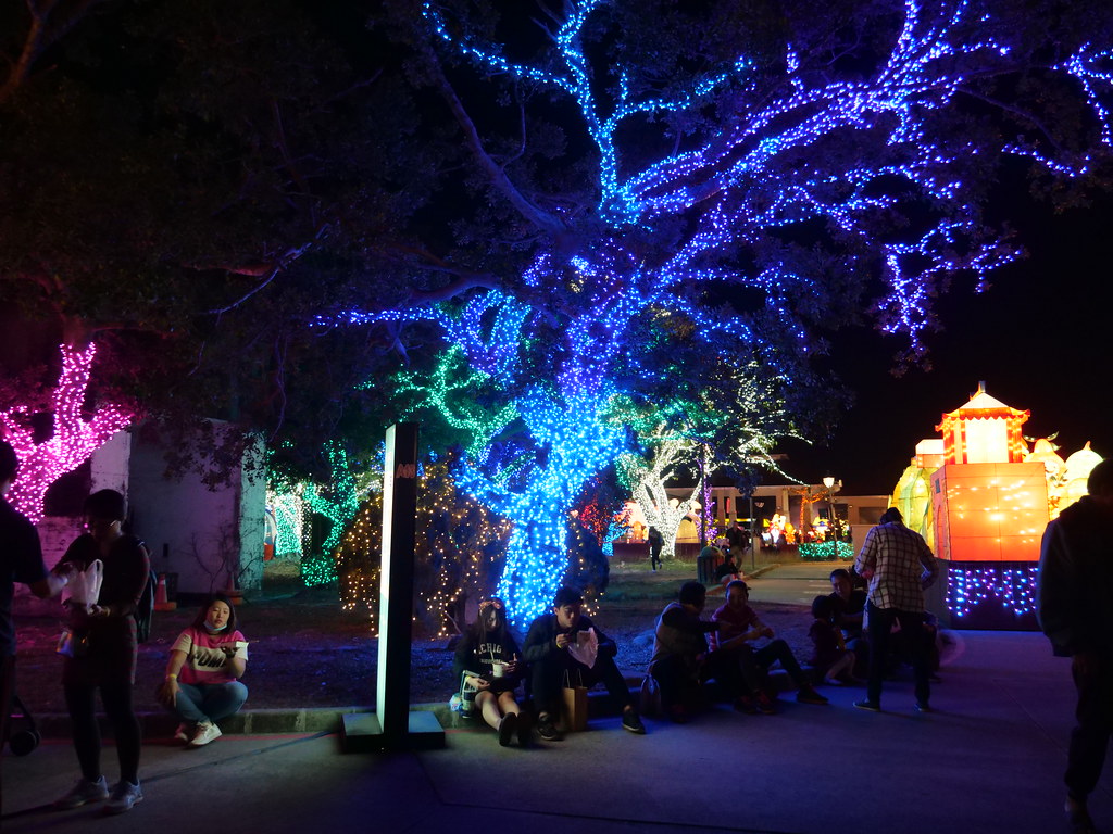
Dapeng Bay
Dapeng Bay is located in Donggang Township, Pingtung County, Taiwan, and is the largest lagoon along the southwestern coast of Taiwan’s main island. In earlier times, it was known by various names such as Biexing Port, Jiating Port, Jinjiading Port, Guandi Port, and Nanping Port. During the Japanese colonial period, it was called “Datan,” and after World War II, it was renamed “Dapeng Bay.”
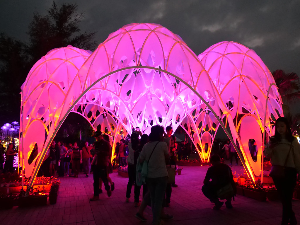
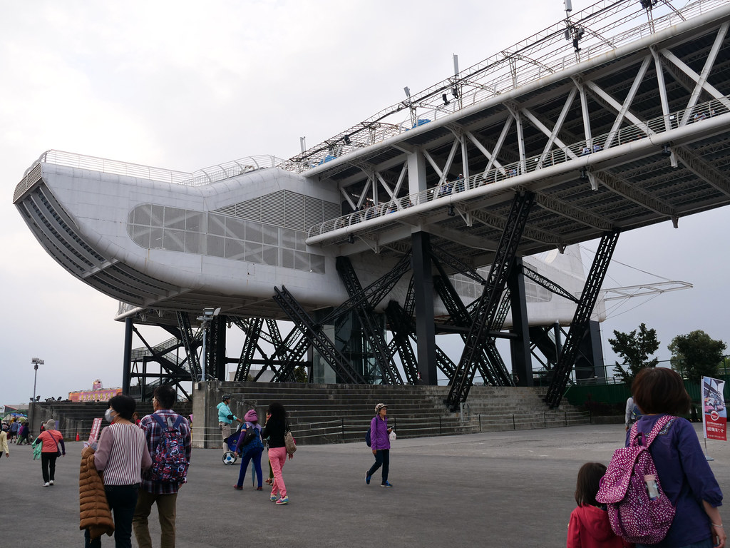
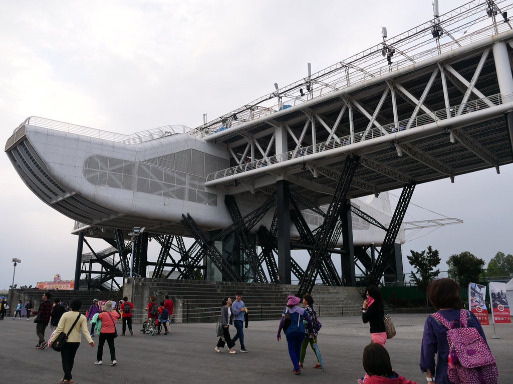
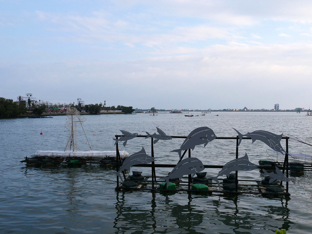
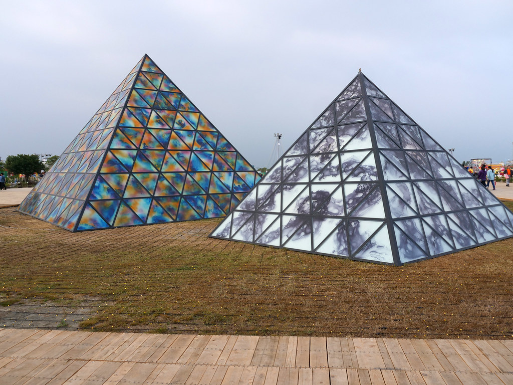
Dapeng Bay was formed by the alluvial action of the Linbian River. The bay has a pouch-like shape, with a water depth ranging from about 2 to 6 meters and an average depth of around 3 meters. On the northern side grows the mangrove species Avicennia marina, which thrives thanks to stable water levels and abundant nutrients, fostering a rich wetland ecosystem. The lagoon is home to diverse plants, waterbirds, fiddler crabs, mudskippers, and various fish, shrimp, and shellfish. The lagoon’s outlet is spanned by the Pengwan Cross-Sea Bridge, a major local landmark, while the Nanping sandbar area is developed with Qīngzhōu recreational facilities and Casuarina forests, serving both ecological protection and tourism purposes.
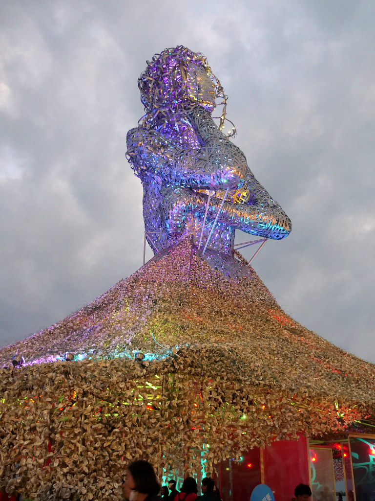
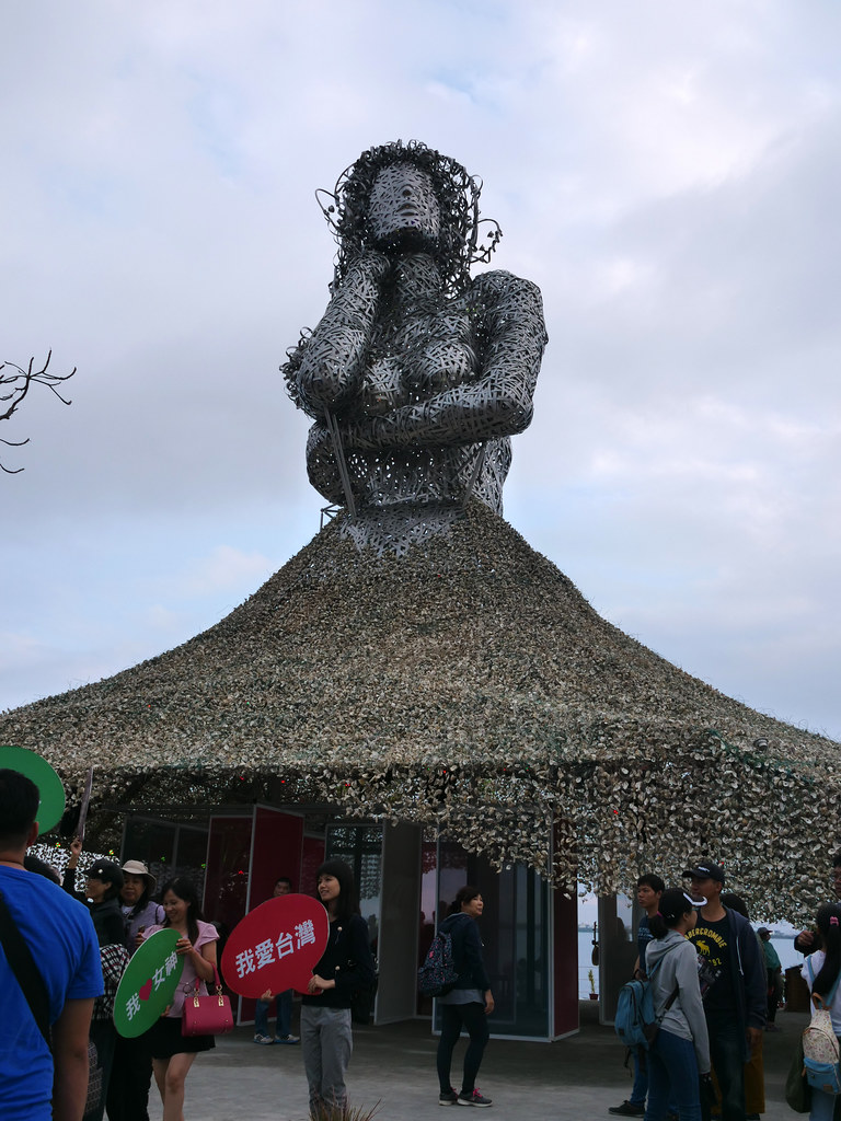
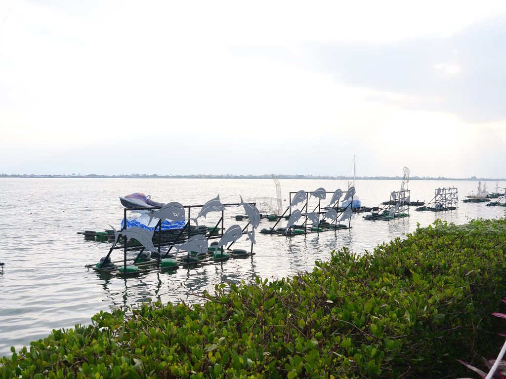
Historically, oyster farming in Dapeng Bay predates the Japanese colonial period. By the end of World War II, the Japanese Navy had established a seaplane base and a submarine base here. After the war, the Nationalist Army took over and set up an Air Force Preparatory School, temporarily interrupting aquaculture. When the military later withdrew, oyster farming gradually resumed. However, due to siltation at the lagoon’s outlet and poor management, the water quality deteriorated. Oyster racks and piles of discarded shells accumulated into small islands, inadvertently forming unique cultural landscapes. With the establishment of the Dapeng Bay National Scenic Area, oyster racks were completely removed in 2002, and aquaculture shifted to cage farming, gradually restoring vitality to the lagoon environment.