


Hualien County is located in eastern Taiwan, bordered by the Pacific Ocean (Philippine Sea) to the east. The Central Mountain Range separates it from western Taiwan, while it neighbors Yilan County to the north, Taichung City to the northwest, Nantou County to the west, Kaohsiung City to the southwest, and Taitung County to the south. With a total area of 4,628 square kilometers, Hualien is the largest county-level administrative division in Taiwan.
Geography and Natural Environment
Hualien County has an elongated shape, stretching approximately 137.5 kilometers from north to south, with a maximum width of only 43 kilometers. The county is primarily composed of the Central Mountain Range and the Coastal Mountain Range, with plains covering only about 10% of the total area. The population is mainly concentrated in the Huatung Valley, where Hualien City, Ji’an Township, and Xincheng Township form the most prosperous metropolitan area in eastern Taiwan, with a population of around 200,000.
Hualien boasts magnificent natural landscapes, including the renowned Taroko National Park and Yushan National Park. The county is home to the most "Hundred Peaks" in Taiwan, with 43 towering summits, including Nanhu Mountain, Qilai Mountain, Xiuguluan Mountain, Wuming Mountain, and the East Peak of Hehuan Mountain.
Huatung Valley and Coastal Landforms
The plains of Hualien County are situated between the Coastal Mountain Range and the Central Mountain Range, forming the Huatung Valley. This area has a relatively flat but narrow terrain, with the widest section measuring about 9 kilometers and the narrowest only 3 kilometers. The valley consists of river alluvial fans, with its northern entrance extending from Chongde Station in Xiulin Township southward to the mouth of the Hualien River. Some narrow sections are referred to as the "Xincheng Corridor."
The Coastal Mountain Range to the east formed more recently (approximately 4 million years ago) and is lower in elevation than the Central Mountain Range. Its highest peak is Xingang Mountain (1,682 meters). The range is primarily composed of soft sedimentary rock and slate, making it prone to landslides. Due to tectonic activity, it continues to rise at a rate of approximately 3 centimeters per year.
Indigenous Culture and History
Hualien County has the highest indigenous population in Taiwan. Historically, the area was known as "Qilai," "Huilan," and "Dorolman." The name "Huilan" later evolved into "Hualien." The Amis people are the most widely distributed indigenous group in the county, with other tribes including the Truku, Bunun, Kavalan, Sakizaya, and Seediq peoples. The Han people migrated to the region later.
The design of the Hualien County flag symbolizes the "Homeland of the Rising Sun," with the image of the sun rising from the Pacific Ocean representing dawn and hope. The dots of light on the flag signify the integration of the county’s diverse ethnic groups.
Industry and Tourism
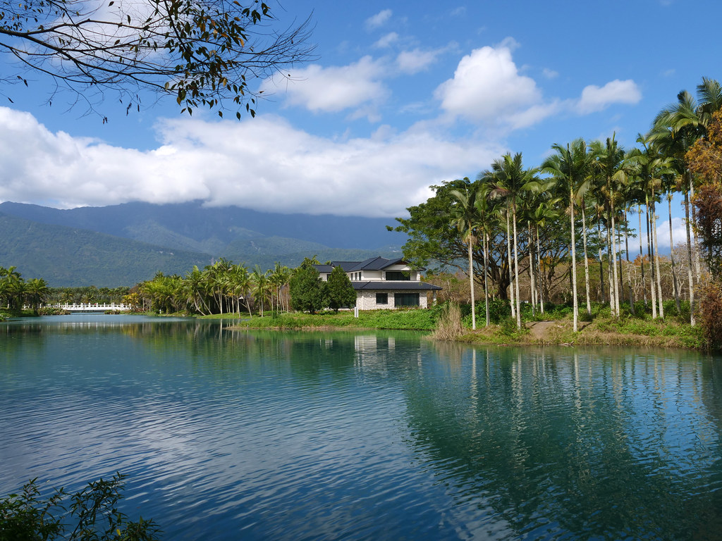
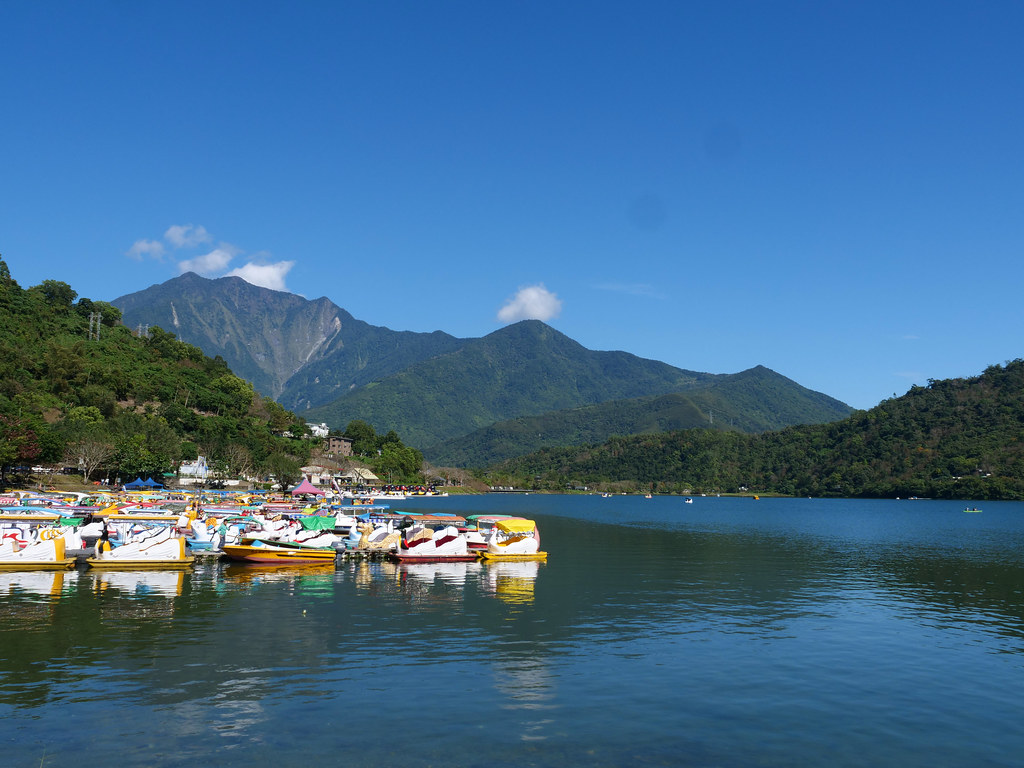
Tourism is the primary industry in Hualien, leveraging its breathtaking mountain and ocean scenery. Popular attractions include Taroko Gorge, Qingshui Cliffs, Qixingtan Beach, Xiuguluan River, and Ruisui Hot Springs, making it a favorite travel destination for both domestic and international visitors.
In agriculture, Hualien is known for producing pomelos, peeled chili peppers, daylilies, and red glutinous rice. Additionally, it is renowned for its high-quality marble, with the county accounting for the largest marble production in Taiwan, making it a vital mineral resource.
Hualien County seamlessly blends stunning natural landscapes, diverse indigenous cultures, and rich tourism resources. It serves as the most important urban hub in eastern Taiwan and is one of the island’s most representative travel destinations. From the majestic gorges of Taroko to the vast scenery of the Huatung Valley, Hualien showcases the unique charm and vitality of Taiwan’s eastern region.