Suao Township is located at the southeastern tip of Yilan County, facing the Pacific Ocean to the east. It serves as a crucial gateway connecting northern and eastern Taiwan, with significant strategic and economic value due to its geographical location. As the starting point of the North-Link Railway and Suhua Highway, and the endpoint of the Chiang Wei-shui Freeway, Suao has long played a key role in transportation development and serves as a transit hub for travelers heading to Hualien and Taitung.
Suao’s terrain is diverse, featuring plains, valleys, hills, and bays. It can be divided into several distinct areas:
-
Suao Urban Area and Shenghu Area: Located in the valley south of Qixingling Hill, this is the most densely populated and commercially active region. The urban area hosts financial institutions and various service facilities, making it the administrative and economic center of the township.
-
Nanfang’ao Area: As one of Taiwan’s most important fishing hubs, Nanfang’ao is home to three fishing ports and is well-known for its tombolo landform and the popular “Tofu Cape” beach area. It retains a rich fishing village culture and is a popular photo spot for both domestic and international tourists. Nearby Neipi Beach, known for its scenic beauty, is a favorite for couples but requires caution due to strong waves.
-
Baimi Area: Located south of Suao’s urban center, this mountainous area is rich in limestone resources and is a major site for cement and mining industries. The area's name is closely linked to its geological features, reflecting a history of interaction between humans and nature.
-
Longde and Dingliao: These are industrial hubs in northern Suao. Longde Industrial Zone is the largest industrial cluster in Yilan County, contributing significantly to local employment and economic development.
-
Xincheng, Masai, and Wuweigang Areas: Situated on the southern bank of the Xincheng River, these areas blend agriculture and industry and are home to many indigenous communities. Yueming New Village is one of Taiwan's largest settlements of Dachen refugees, carrying historical significance.
-
Dong’ao and Wushibi Areas: Located about 14 kilometers from the town center, these areas offer beautiful beaches and natural resources, such as the Wushibi Wildlife Reserve. The region reflects a history of coexistence between indigenous peoples and Han Chinese, evidencing the colonial-era practice of ethnic segregation.
-
Nan’ao (Nanqiang and Chaoyang): Positioned at Suao’s southernmost point, this agriculturally rich area has a strong Atayal cultural presence. Due to its geographical proximity to Nan’ao Township, there have been discussions about potential administrative realignment.
Additionally, Suao has two major ports: Suao Port and Nanfang’ao Fishing Port. Suao Port is a key cargo port and also houses the ROC Navy’s 168 Fleet, granting it strategic military importance. Nanfang’ao Fishing Port is renowned for its coastal and deep-sea fishing industries, serving as a major pillar of Taiwan’s fishing economy.
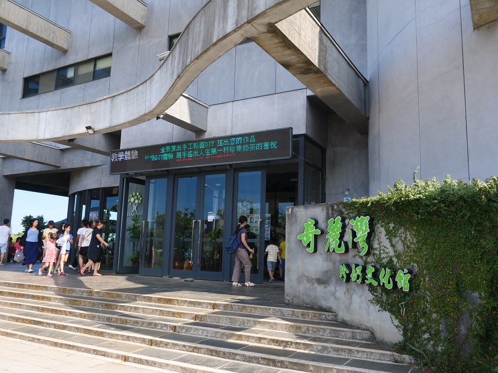
Suao is also thriving as a tourist destination, featuring unique local attractions like Suao Cold Spring and Baimi Wooden Clogs Village. With convenient access via highways and railways, Suao has become a multifaceted tourist town blending industry, culture, and ecology. As regional development plans progress, Suao continues to demonstrate its potential and vitality as a transportation hub, port economy center, and tourism hotspot.
Tourist attraction